Thursday, September 21, 2006
Wednesday, September 20, 2006
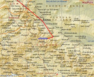
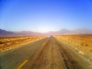
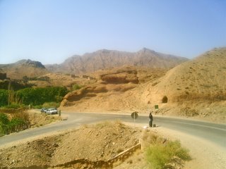
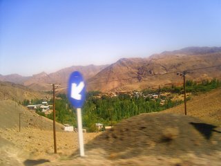
Abyaneh Road
Area / State: Esfahan
Area Type: Populated place
Latitude (DMS): 33° 35' 24 N
Longitude (DMS): 51° 36' 10 E (Degrees, minutes and seconds)
Area / State: Esfahan
Area Type: Populated place
Latitude (DMS): 33° 35' 24 N
Longitude (DMS): 51° 36' 10 E (Degrees, minutes and seconds)
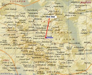
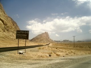
Chak Chak Road
Area / State: Yazd
Area Type: Populated place
Location Type: Populated Place
Latitude (DMS): 32° 22' 27 N
Longitude (DMS): 54° 25' 5 E (Degrees, minutes and seconds)
Area / State: Yazd
Area Type: Populated place
Location Type: Populated Place
Latitude (DMS): 32° 22' 27 N
Longitude (DMS): 54° 25' 5 E (Degrees, minutes and seconds)
Ardabil - Bandar-e Anzali Road
Ardebil
Area / State: Ardebil
Area Type: Administrative region
Location Type: Administrative Division
Latitude (DMS): 39° 0' 0 N
Longitude (DMS): 48° 0' 0 E (Degrees, minutes and seconds)
Bandar-e Anzali
Area / State: Gilan
Area Type: Populated place
Location Type: Populated Place
Latitude (DMS): 37° 28' 16 N
Longitude (DMS): 49° 27' 44 E (Degrees, minutes and seconds)
Tuesday, September 19, 2006
Subscribe to:
Posts (Atom)