Wednesday, September 20, 2006

Abyaneh Road


Area / State: Esfahan

Area Type: Populated place

Latitude (DMS): 33° 35' 24 N
Longitude (DMS): 51° 36' 10 E (Degrees, minutes and seconds)


Chak Chak Road


Area / State: Yazd
Area Type: Populated place
Location Type: Populated Place

Latitude (DMS): 32° 22' 27 N
Longitude (DMS): 54° 25' 5 E (Degrees, minutes and seconds)


Rasht - Qazvin


Area / State: Qazvin Area
Type: Administrative region
Location Type: Administrative Division

Latitude (DMS): 36° 0' 0 N
Longitude (DMS): 50° 0' 0 E (Degrees, minutes and seconds)


Rasht - Masuleh Road


Area / State: Gilan

Type: Populated place
Location Type: Populated Place
Latitude (DMS): 37° 9' 35 N
Longitude (DMS): 48° 59' 33 E (Degrees, minutes and seconds)


Ardabil - Bandar-e Anzali Road


Ardebil

Area / State: Ardebil

Area Type: Administrative region

Location Type: Administrative Division

Latitude (DMS): 39° 0' 0 N

Longitude (DMS): 48° 0' 0 E (Degrees, minutes and seconds)
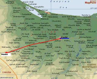
Bandar-e Anzali

Area / State: Gilan

Area Type: Populated place

Location Type: Populated Place

Latitude (DMS): 37° 28' 16 N

Longitude (DMS): 49° 27' 44 E (Degrees, minutes and seconds)

Ourumieh Road


Alternative Name: Orumiyeh
Name Type: Native
Area/State: Azarbayjan-e Khava Area

Type: Populated place

Latitude (DMS): 37° 33' 18 N

Longitude (DMS): 45° 6' 10 E (Degrees, minutes and seconds)


Taht-e Soleyman Road


Type: NativeArea
State: Azarbayjan-e Bakht
Area Type: Spot feature
Location Type: Ancient Site

Latitude (DMS): 36° 36' 0 N
Longitude (DMS): 47° 15' 0 E (Degrees, minutes and seconds)